×

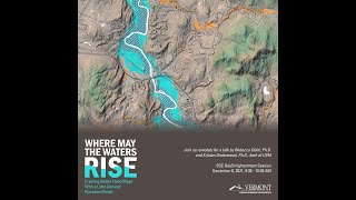
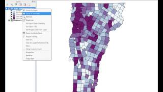
VTgeospatial's video: Creating better flood inundation maps with lidar data and a topographically-driven model

@Creating better flood inundation maps with lidar data and a topographically-driven model
Rebecca Diehl PhD (Department of Geography) and Kristen L. Underwood PhD (Department of Civil and Environmental Engineer) from the University of Vermont present their methodology in using a hydro enforced Digital Elevation Model (DEM) to improve the performance of regional flood inundation maps with application to flood hazard, water quality, and conservation planning. This presentation was given on 12/8/2021 as part of the monthly 'GeoEnlightenment' professional development series held by the State of Vermont's Enterprise GIS Consortium.

40

2
VTgeospatial
Subscribers
6.5K
Total Post
93
Total Views
439.4K
Avg. Views
7.1K
View Profile
This video was published on 2021-12-10 01:00:55 GMT by @VTgeospatial on Youtube. VTgeospatial has total 6.5K subscribers on Youtube and has a total of 93 video.This video has received 40 Likes which are higher than the average likes that VTgeospatial gets . @VTgeospatial receives an average views of 7.1K per video on Youtube.This video has received 2 comments which are higher than the average comments that VTgeospatial gets . Overall the views for this video was lower than the average for the profile.

Other post by @VTgeospatial